*Threatened species
(**)Other species can be seen soaring above the hill. While the eagles mainly feed on aquatic creatures, such as fish, turtles and sea snakes, they also prey on mammals.
Nightlife
When the sun begins to set and the people retreat to their houses, the forest sees some life turn in for the night, while other animals stir from their hollows, peak out from under their logs or burrows, while others rouse from their roosts. It is a veritable concophony of sounds and sights.
Nocturnal wildlife includes …
FROM THE CANOPY: Powerful and Masked Owls, Tawny Frogmouth, Tiny and even micro bats, Brushtail Possums, Squirrel Gliders
WITHIN THE UNDERSTOREY: Spiders and a myriad of insects
ON THE GROUND: Bandicoots, Native mice, Wallabies
AND the not to be tolerated INTRODUCED FERAL ANIMALS that predate on the young and not so young native animals that are vulnerable to their hunting behaviours. Not only foxes, this includes roaming domestic cats.
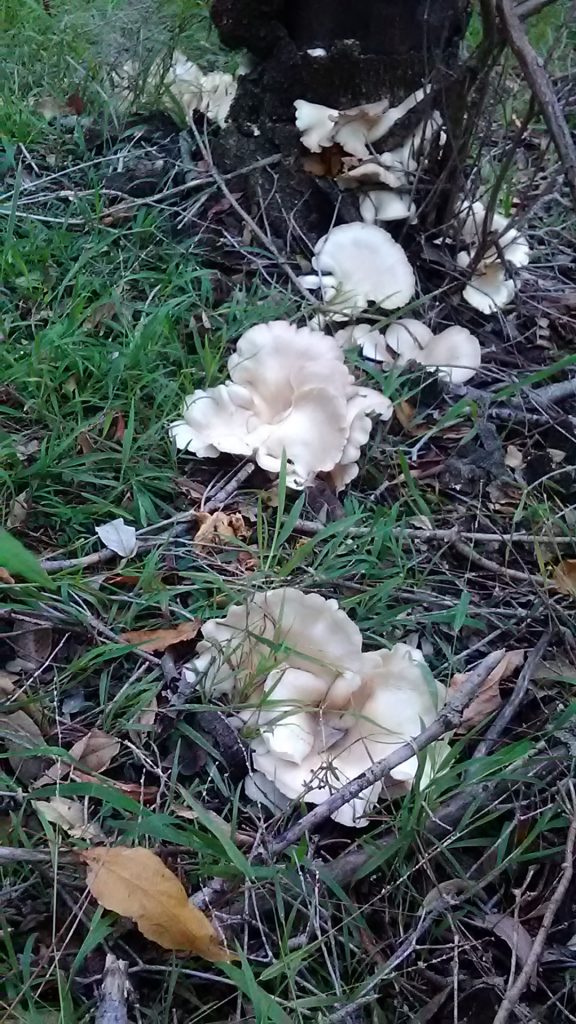
Smaller animal life
Ants, Centipedes, Millipedes, Ground-beetles, slugs, snails, spider, slime mould. This list doesn’t do justice to the variety or the complexity or multi-functioning capacity of these unsung aspects of Munibung Hill or any other areas of nature where we live, work and play. 95 per cent of all the animals on Earth are of the invertebrate kind. Entomologists would have us pay closer attention and take into account our ways of living, such that these creatures are given their due recognition and valued for the critical roles they play in keeping us safe and healthy. More at: Invertebrates Australia.
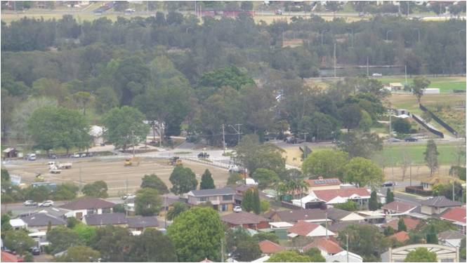
NATIVE FAUNA continue to suffer from habitat loss whether they are feathered, furry or scaly friends. As more land is cleared of trees, native grasses and low lying bush areas around the hill to make way for new housing and industry developments, valuable shelter and food sources are lost. A recent (2017) Macquarie Hills subdivision saw all existing mature trees, native grasses, shrubs and wildlife removed to make way for a 76 lot housing development. By considering our local Fauna friends alongside future developments we can create a better future for humans and all living creatures on the planet.
Threatened flora are listed here in the animal life section because animals need habitat, so threatened flora is of particular concern for animal species. The map at right was accurate as at 2019, since then four (4) additional species have been added – Threatened Flora (+1) and Fauna (+3) as noted below.